


Photo collage of 420 baggies mapped on streets of South East London between January 2013 and April 2016.
Left to Right:
1. Crown Woods School. Eltham. 51.451601, 0.077117
2. Thames Path, Thamesmead. 51.509440, 0.102522
3. Franks Park, Belvedere. 51.487903, 0.158275
51.481624, -0.002076 - Park Vista, Greenwich, South East London.
Left to right:
1. Broadwater Green, Plumstead. 51.494197, 0.086056
2. Royal Arsenal, Woolwich. 51.496014, 0.075853
3. Plumstead bus garage underpass. 51.490452, 0.085452
Top left to bottom right:
1. Crescent Road, Woolwich 51.486534, 0.069154
2. Nuxley Village, Belvedere. 51.480285, 0.143797
3. Broadwater Green, Plumstead. 51.492860, 0.084432
4. Nathan Way, Plumstead. 51.494322, 0.095901
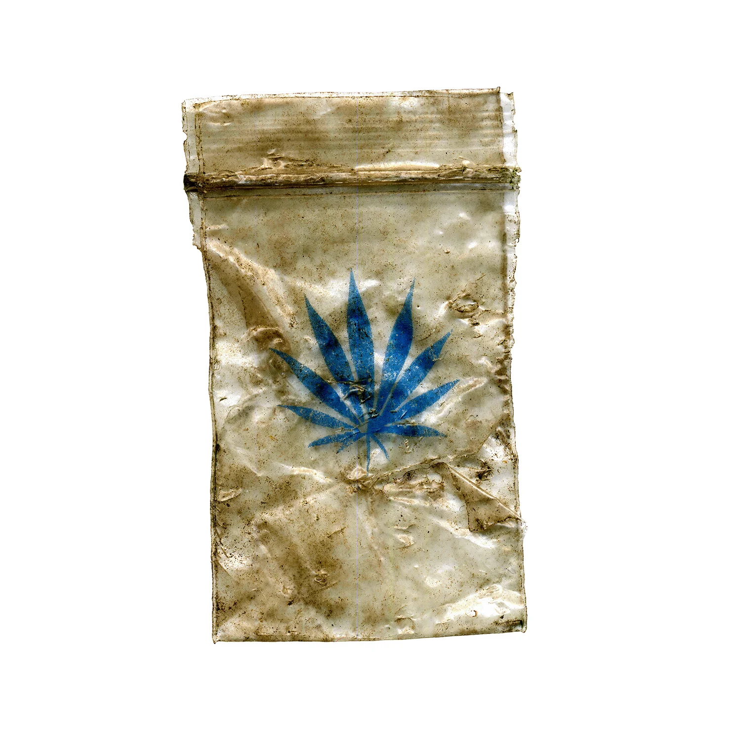
Blue. Sun In the Sands Roundabout. 51.474864, 0.024213
Red. Heathway, Blackheath Standard. 51.476314, 0.018183
Yellow. Trafalgar Tavern. Greenwich. 51.484530, -0.004108
Green. Maze Hill, Greenwich. 51.482201, 0.001911
top left to bottom right:
1. Blackheath Common 51.479641, 0.031328
2. Old Dover Road, Blackheath. 51.475771, 0.027851
3. Broadwater Green, Plumstead 51.493783, 0.084336
4. Rochester Way, KIdbrooke. 51.469437, 0.027539